Old Snowmass Or Missouri Heights For Acreage?
March 5, 2026
March 5, 2026
Shopping for acreage near Aspen and wondering if Old Snowmass or Missouri Heights is a better fit? You are not alone. If you want room for horses, hay, or quiet space, the right area can make your daily life easier and your investment stronger. In this guide, you will see how these two beloved pockets compare on water, land use, views, schools, and access. You will also get a simple checklist to use before you write an offer. Let’s dive in.
In short: Old Snowmass often offers closer proximity to Aspen and river adjacency, with Pitkin County rules and higher valuations. Missouri Heights usually delivers more view-forward acreage and Garfield County regulations, often with different price dynamics. Your choice comes down to how you plan to use water, where you prefer to live day to day, and what you want to build.
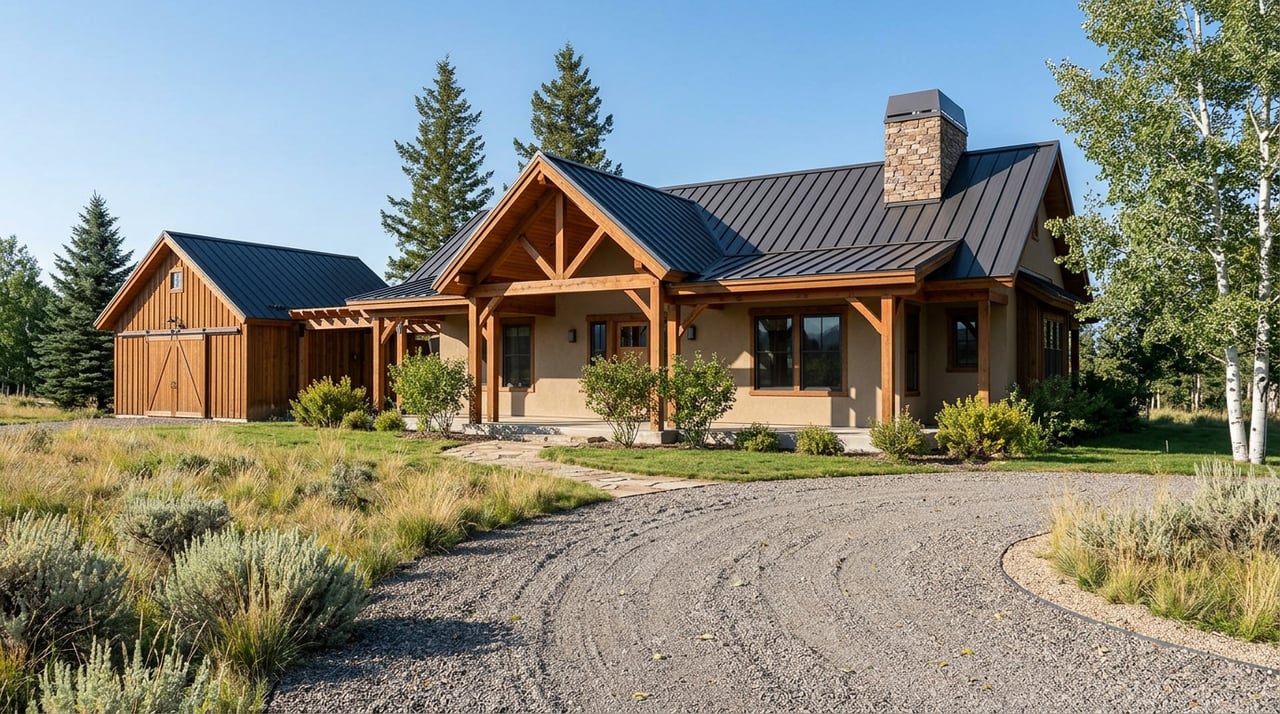
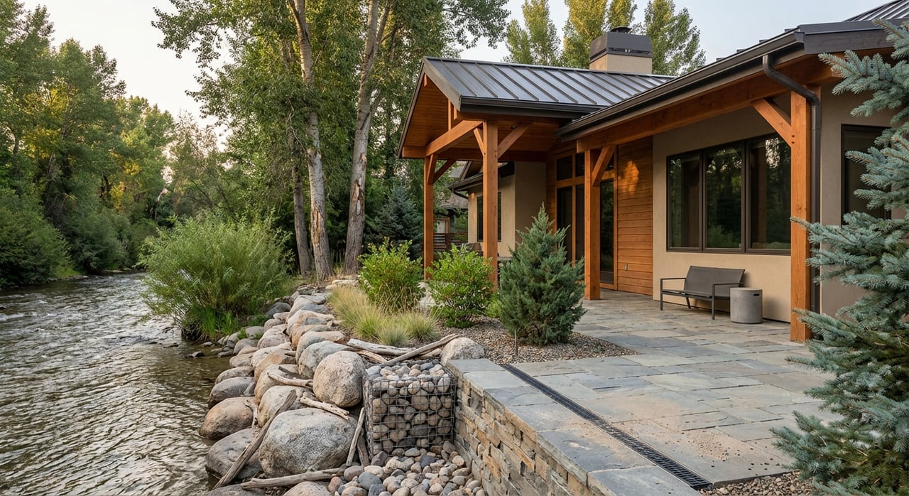
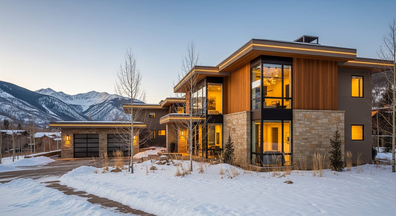
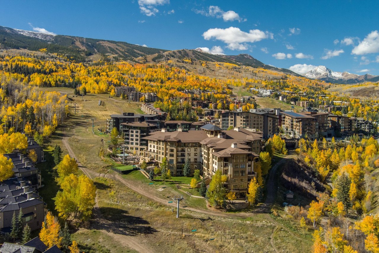
You live close to the Roaring Fork River and Snowmass Creek, with tall cottonwoods, meadows, and access to nearby wilderness. Land is often flatter, which can help with barn sites and pastures. The tradeoff is the need to understand riparian buffers, floodplain mapping, and environmental review for some parcels. The Snowmass overview places you in the corridor between Aspen and Basalt at about 8,399 feet.
Practical test: Ask your broker for FEMA floodplain maps and any county-recorded activity envelopes before planning structures or arena placement.
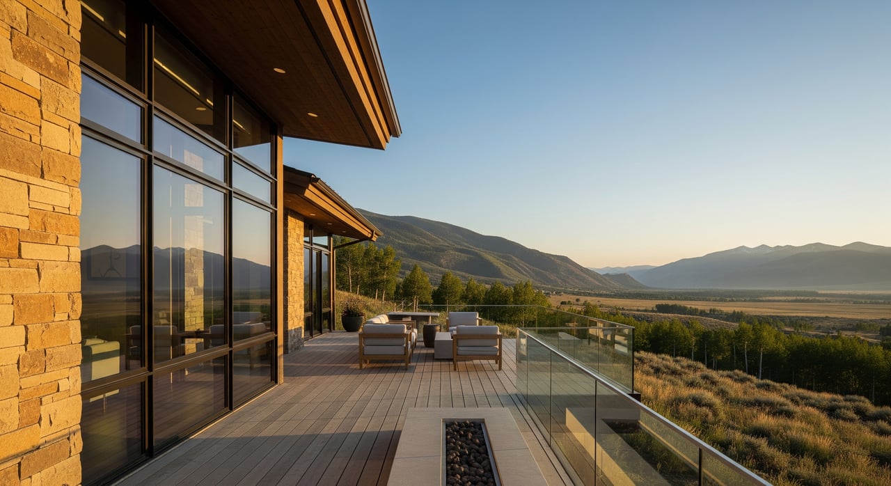
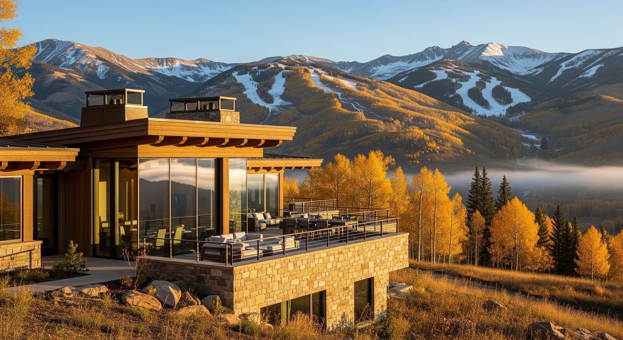
Up above Carbondale, you get sweeping mountain vistas and long light, especially on south-facing meadows. Parcels can feel more open and exposed, which can add wind and driveway length to the equation. This area tends to read as classic ranch country with broad panoramas of Mount Sopris and the Elk Range. See context in this Missouri Heights area snapshot.
Practical test: Price out driveway construction and maintenance for winter access, and have a soils engineer scope pads for barns or indoor arenas on steeper or more exposed sites.
Colorado well permits are not all the same. A “household use only” permit often allows indoor use only. That usually means no outdoor livestock watering and no lawn irrigation. A “domestic” exempt well can allow limited outside uses, with conditions that depend on your permit. The state’s rules are decisive for horse properties. Read the state-level overview in the Colorado Groundwater Atlas.
Many buyers are surprised to learn a well marked “household use only” legally cannot water horses or pastures. Changing that can be difficult and may require augmentation or other legal steps. This practical reality is explained in a plain-language well-permit guide.
Practical test: Before you tour, request the Colorado Division of Water Resources permit number and completion record. Confirm permitted uses in writing.
Practical test: If a listing advertises irrigation, ask for the ditch company name, recorded shares, delivery method, assessments, and any augmentation plan. Request historic water-use records and hay yields.
Pitkin County’s land-use code includes specific standards for rural residential zones. These rules cover things like agricultural buildings, caretaker units, and how riding stables operate on smaller parcels. Some uses may require special review. If you plan any form of boarding or training business, confirm limits on visitors, accessory floor area, and lighting. Review the Pitkin County use-specific standards early.
Missouri Heights lies in unincorporated Garfield County and includes planned horse communities and larger open parcels. Allowed uses and minimum lot sizes vary by parcel and zoning. If you want commercial equestrian activity, verify whether a special-use review is required and how daily trips or event lighting are treated. Neighborhood covenants may also address fencing, barns, or arena design.
Practical test: Pull the parcel’s zoning and any HOA rules. Ask the county planner to confirm whether your intended use is by-right or needs special review.
School districts do not follow ZIP code lines. Many Old Snowmass parcels fall within Aspen School District, while most Missouri Heights parcels are in the Roaring Fork School District (RE-1) that serves Carbondale and Basalt. Always verify by parcel. You can see parcel-specific examples in local MLS listings that note district assignment.
Daily services concentrate in Basalt and Carbondale, with Aspen offering higher-order medical and air service. Valley mobility is supported by the regional transit network and a popular multi-use path. The Rio Grande Trail provides convenient bike access along the valley floor. Learn more about the corridor on the Rio Grande Trail overview.
For drive times, Old Snowmass is commonly about 15 to 25 minutes to Basalt and 20 to 30 minutes to Aspen, depending on parcel and conditions. Missouri Heights is often 10 to 20 minutes to Carbondale, Willits, or Basalt, again depending on exact siting and winter roads. These ranges are commonly reported in local guides and listings, such as the drive-time context noted on a Snowmass property page.
Practical test: Map daily routes to schools, groceries, and medical care in both summer and winter. Ask about snow removal for private drives and subdivision roads.
Both areas are rural, so expect private wells and septic systems. Always verify septic permits, bedroom counts, and whether expansion is allowed. Septic capacity can affect house size, guest quarters, wash racks, and any commercial use.
Wildfire is a real consideration across foothill and plateau terrain. Missouri Heights is served by the Carbondale & Rural Fire Protection District, which maintains a station in the area. Check response zones and evacuation routes, and plan large-animal transport. Station locations are posted by the district on its stations page.
Road conditions vary by season. Some upper-plateau roads can be unimproved or seasonal. In Old Snowmass, spring runoff can affect low-lying areas and long driveways near river corridors. Ask who is responsible for road maintenance and winter plowing.
Practical test: Contact the local fire district for parcel-specific defensible-space guidance and confirm insurance quotes that reflect actual wildfire risk.
Confirm school district and assigned schools by parcel through the districts or county assessor. See parcel-specific context in local MLS examples.
Pull well permits and completion reports from the Colorado Division of Water Resources. Verify if the well is “household use only” or “domestic,” and what outdoor uses are allowed. Start with the Colorado Groundwater Atlas.
If irrigation is advertised, request documentation from the ditch company: recorded shares, headgate or delivery point, flow data, assessments, and any augmentation plan. Drought-year calls can affect junior rights, as noted in regional watershed coverage.
Confirm septic design, permit, soils, and any expansion path. Understand how capacity limits house size, guest housing, or equine wash facilities.
Verify zoning and allowed equestrian uses. In Old Snowmass, review the Pitkin County use-specific standards. In Missouri Heights, call Garfield County Community Development for parcel-specific rules.
Ask for historic water use, irrigation schedules, and hay yields. Check for conservation easements or wildlife-corridor conditions.
Confirm fire-service coverage and evacuation routes. See station locations on the Carbondale & Rural Fire Protection District site.
Line up specialists: a water attorney or hydrologist if irrigation is central, a local well driller or pump tester, a septic designer, and a county planner. Bring in a broker experienced with ranch and equestrian properties.
Choose Old Snowmass if you value valley-floor living, river adjacency, and closer access to Aspen, and you are comfortable working within Pitkin County’s land-use framework. Your due diligence will focus on riparian buffers, floodplain mapping, and fine-grained water rights.
Choose Missouri Heights if you want broad, open acreage with big Mount Sopris views and you are drawn to a plateau setting above Carbondale. Your due diligence will focus on driveway lengths, winter access, winds, and Garfield County rules for equestrian uses.
Either way, success comes down to water, zoning, access, and seasonal realities. Use the checklist above to simplify the process and protect your investment.
Ready to see how these options line up with your goals? Reach out to Andrew Albee for a curated set of acreage properties and on-the-ground guidance across Old Snowmass, Missouri Heights, and the wider Roaring Fork Valley.
Stay up to date on the latest real estate trends.
Contact real estate professional, skier, fly fisherman & father, Andrew Albee to find and buy ski properties, condos, and homes in Snowmass Village, CO & beyond.